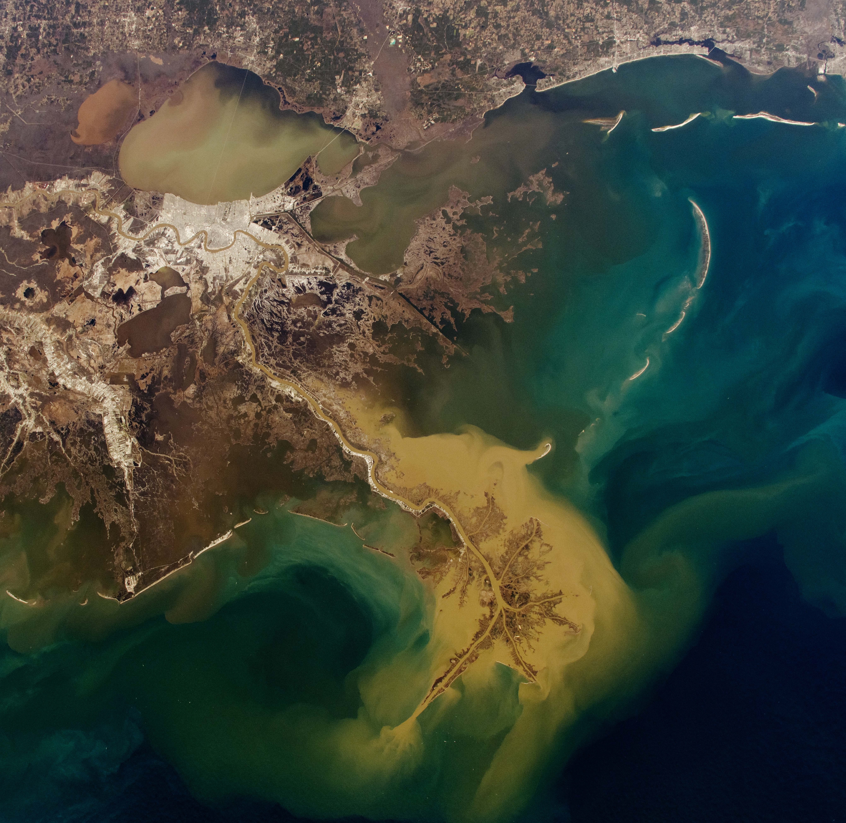
What it does
Fuses rainfall, tide, river stage and terrain into one 0–6 hour operating picture across 13 US coastal labs.
Hyperion is an operator surface for compound flooding. It does not replace weather services — it turns fragmented federal signals into one decision view for teams that have to move in the next hours, not the next week.
When rain, tide and river rise together, a rainfall-only map hides the real risk. Hyperion keeps those drivers on the same surface, with confidence and evidence attached, so a team can inspect, stage and communicate from one place.
Phase 01 covers three canonical Gulf labs plus ten expansion destinations (TX · NC · NJ · VA · SC · NY · MS · AL · GA · MD). Recife is a closed research module and is not on this operator surface. Enter Operator to open the live console with labs, events, runs, reports and the AI channel.
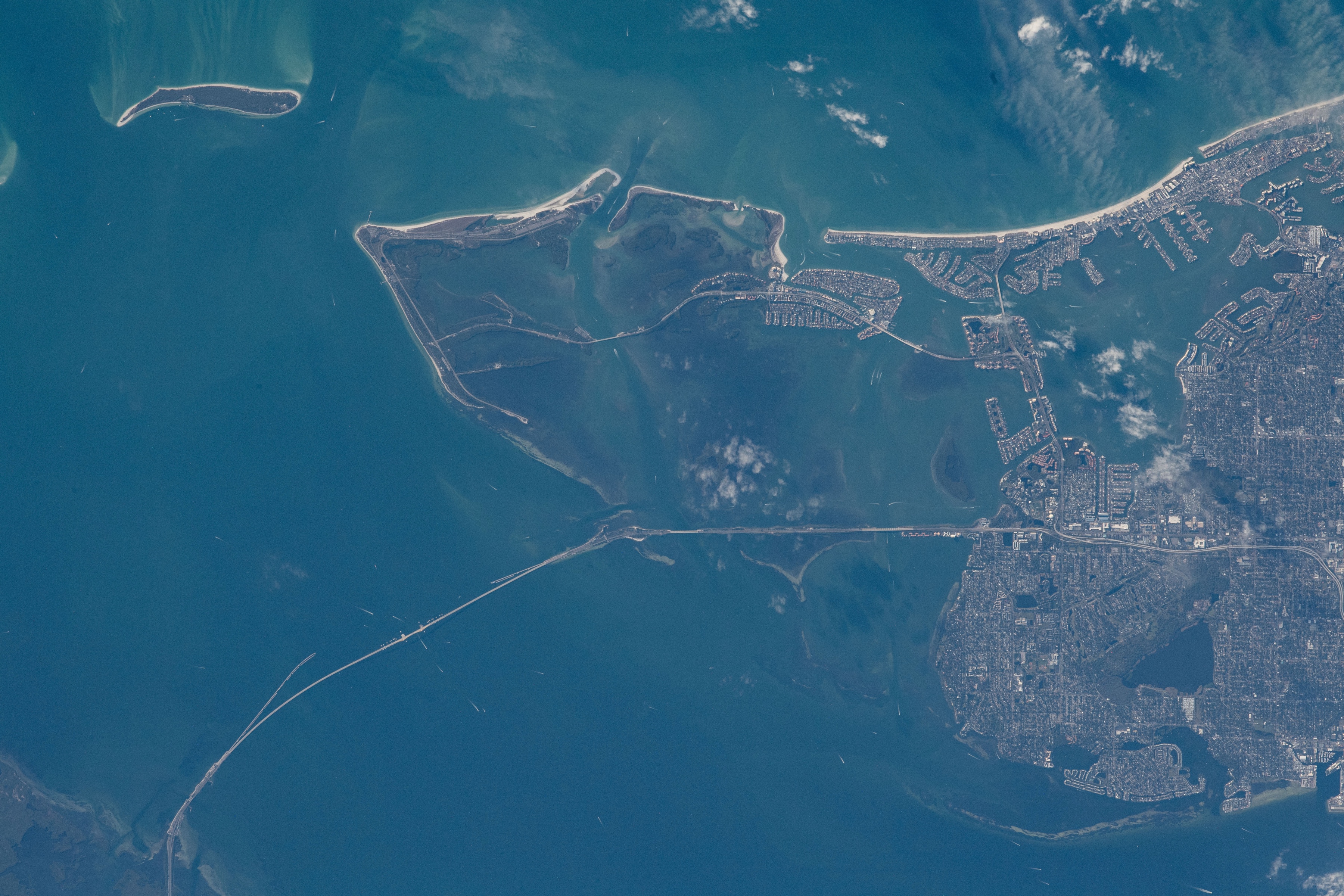
Rain, tide, river and terrain are read together. The product is built for operational consequence in the next 0–6 hours: where water is moving, what is exposed, and how certain the signal is.
Fuses rainfall, tide, river stage and terrain into one 0–6 hour operating picture across 13 US coastal labs.
Flood decisions still come from static maps and alerts that treat rain, tide and river as separate systems.
A shared answer: where water is moving, what is exposed, how confident the signal is, and what to act on next.
Canonical Gulf labs plus multi-event expansion from Texas through the Mid-Atlantic and Gulf Coast — the same 13-lab network the Operator console uses.